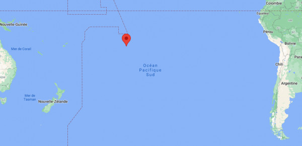
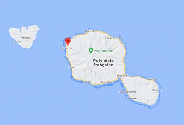
PAPEETE – PYF2 station
![](https://www.svom.eu/wp-content/uploads/2021/02/map_S27-PAPEETE-1.png)
Name : PYF2
Location : Sharjah in the United Arab Emirats
Latitude : -17.5742
Longitude: -149.6064
Hosting : on the site of the University of French Polynesia
Start-up : February, 2021
![Location of the Papeete station, global view](https://www.svom.eu/wp-content/uploads/2021/05/Papeete1-600x290.jpg)
![Location of the Sharjah station, close-up view.](https://www.svom.eu/wp-content/uploads/2021/05/Papeete2-600x409.jpg)
![This station was installed on the roof of the University of French Polynesia building.](https://www.svom.eu/wp-content/uploads/2021/05/Papeete4-450x600.jpg)
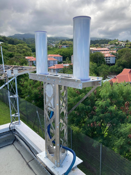
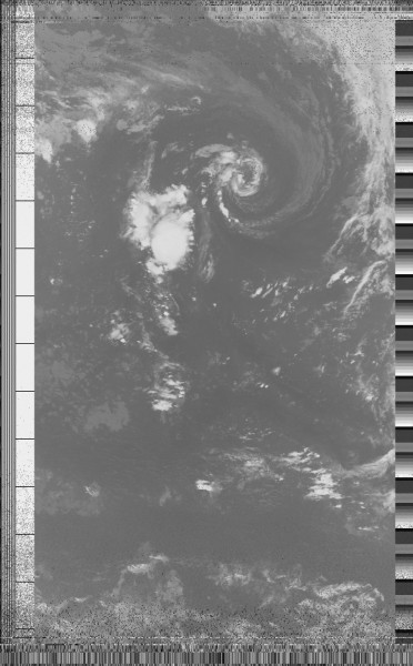
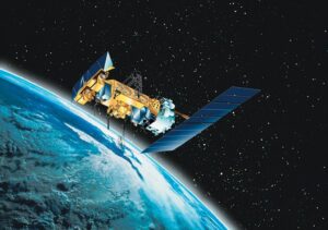
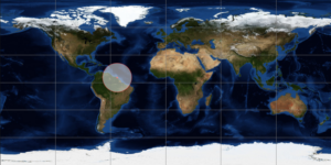
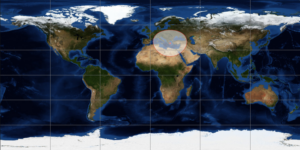
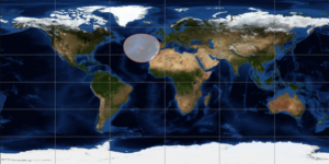
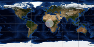
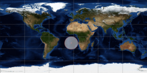
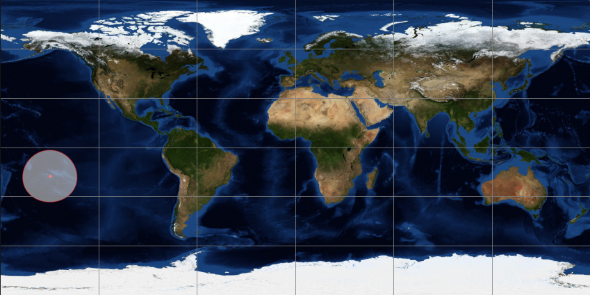
This station can be configured to receive data from the NOAA 18 and NOAA 19 weather satellites. The reconstructed images make it possible to check the quality of the site and to identify possible degradations on the reception of the signals.
![Image construted from the data sent by the NOAA18 satellite.](https://www.svom.eu/wp-content/uploads/2021/05/Papeete5-372x600.jpg)