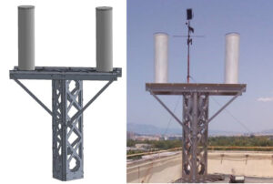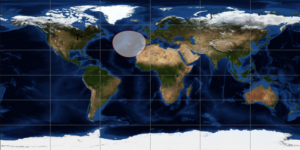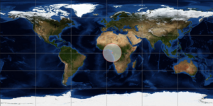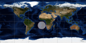
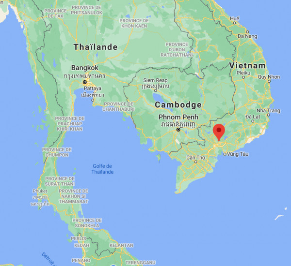
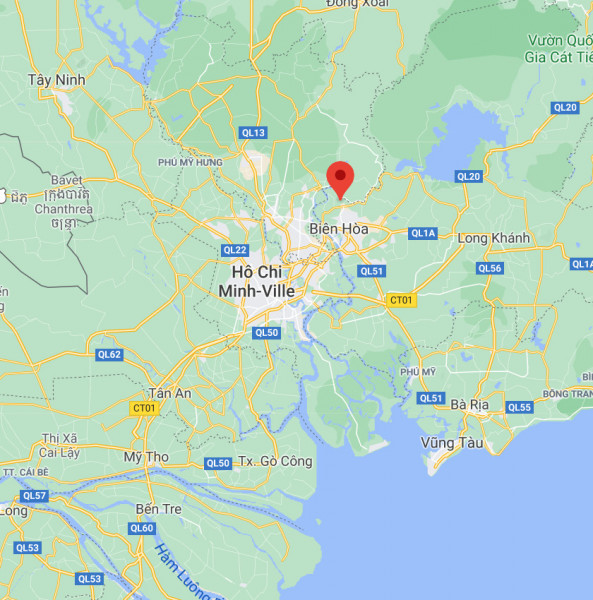
HO CHI MINH – VNM2 station
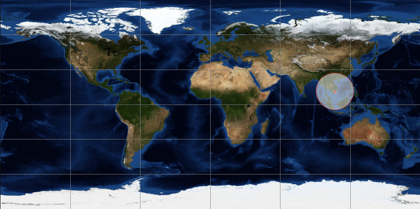
Name : VNM2
Location : periphery of Ho Chi Minh City
Latitude : 11.83
Longitude: 106.85
Hosting : Vietnamese-German University at Binh Duong
Start-up : August, 24 2020
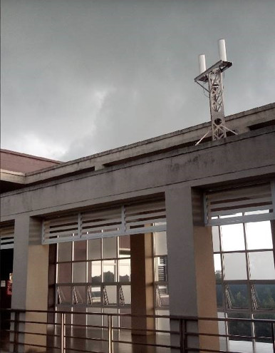
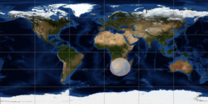
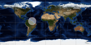
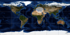
This station can be configured to receive data from the NOAA 18 and NOAA 19 weather satellites. The reconstructed images make it possible to check the quality of the site and to identify possible degradations on the reception of the signals.